Calgary's Concrete Blanket: Mapping Impervious Surfaces and the Rising Cost of Runoff
Every rooftop, every parking lot, every stretch of asphalt across Calgary plays a silent, significant role in shaping our city, far beyond mere aesthetics. These are what city planners call "impervious surfaces," a term that's becoming increasingly relevant to every Calgarian, whether they realize it or not. The City of Calgary's Impervious Surface 2023 dataset offers a granular look at these hidden influencers, revealing how our built environment interacts with our natural one. This dataset is a collection of polygon features identified as impervious, derived from Calgary Digital Aerial Survey (DAS) mapping linework.
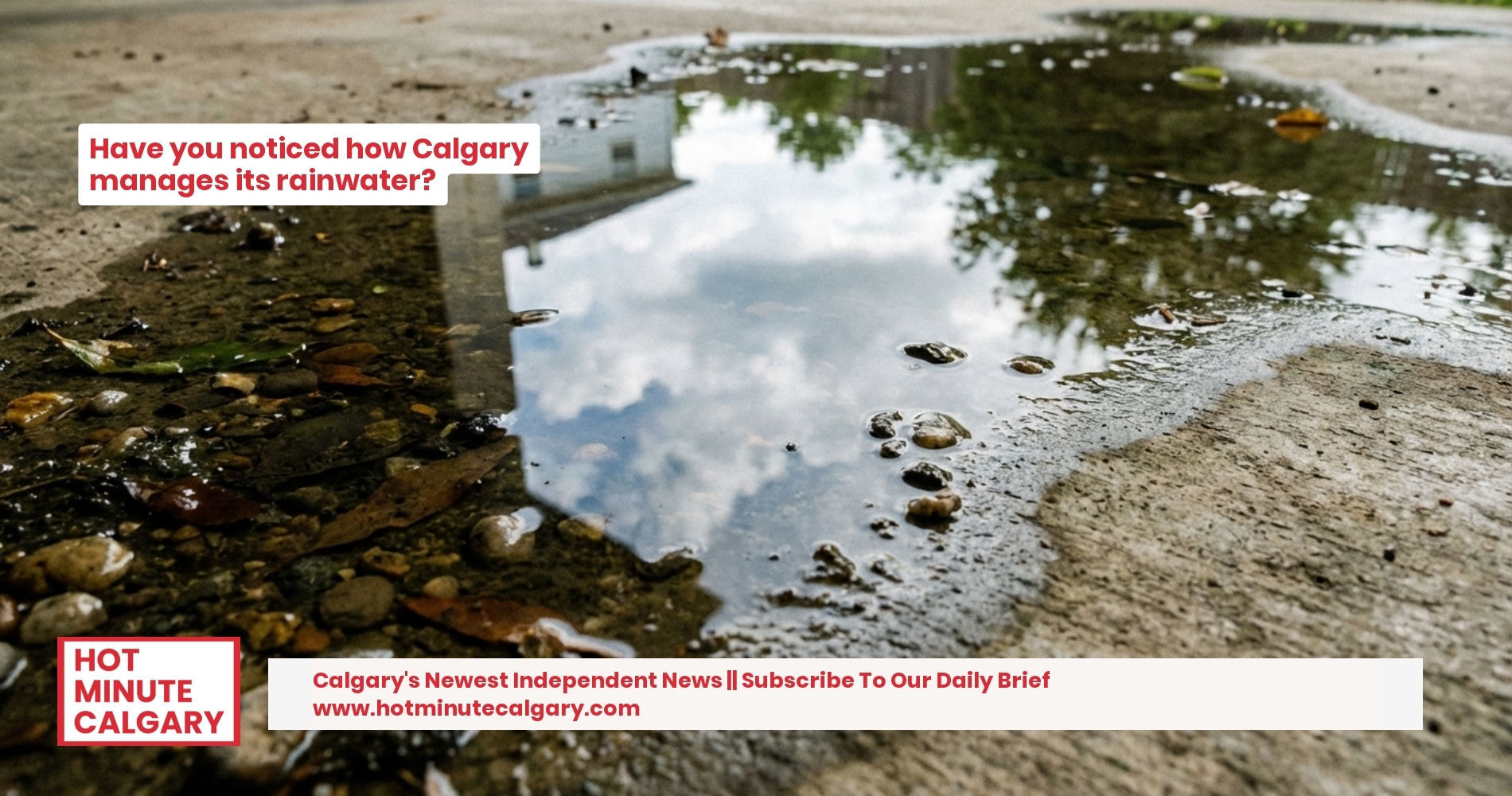
Impervious surfaces are defined as any material that seals the soil surface, impedes water infiltration, collects solar heat, or deprives tree or vegetation roots of aeration. Think of the expansive concrete slabs of a shopping centre, the asphalt ribbons of Deerfoot Trail, or the shingled roofs of our homes across communities from Cranston to Panorama Hills. These aren't just inert structures; they actively reshape our environment, preventing natural groundwater recharge.
Their presence significantly alters urban ecosystems. By sealing the soil, they prevent natural groundwater recharge, starving the earth beneath our feet. More critically, they drastically increase the volume of storm runoff, contributing to higher pollutant concentrations in water, and altering drainage. This rapid runoff also causes other environmental impacts, including the creation of urban heat islands, reduced dissolved oxygen in aquatic ecosystems, and erosion of stream banks. The City understands this delicate balance, recognizing that managing the amount of impervious surfaces is considered essential for ensuring the ongoing health and vitality of the municipality and its environment.
A City Responds: Policy and Our Pocketbooks
To address these growing concerns, the City of Calgary has specific frameworks in place. The long-standing Stormwater Bylaw 37M2005 regulates everything from what enters our storm sewers to how downspouts are managed, setting a legal precedent for responsible water management. The City also provides other Digital Aerial Survey (DAS) products that illustrate surface features derived from aerial photography, offering high positional accuracy, providing the data backbone for such critical assessments.
But policy is also adapting to the evolving challenges. One of the most tangible shifts for residents is the city's transition towards a stormwater utility fee model, which ties costs more directly to the amount of impervious surface on a property. This transition, supported by City Council decisions, aims for a more equitable distribution of the financial burden for maintaining our extensive stormwater infrastructure. An administrative report from January 2023 noted that this move would be "revenue neutral to the City overall upon implementation," with the annual utility cost to customers being "offset by an equivalent property tax reduction."
Despite the aim for revenue neutrality, operational realities are still impacting budgets. For average citizens, the stormwater line of service in Calgary is projected to require a 4.3% rate increase in each of 2025 and 2026 to meet financial targets and policies, responding to rising inflationary costs and operational pressures. Historically, the monthly flat stormwater service charge for residential customers was $15.63 in 2022, or $190.17 annually. While the intent is to balance the books through a property tax reduction, the overall cost of managing our city's water will continue to climb, a direct response to inflationary pressures and the increasing need to manage our urban landscape sustainably.
The Impervious Surface Map 2023 isn't just a technical dataset; it's a critical tool reflecting our city's evolving relationship with its environment. It underscores the silent yet profound impact of our built world and the ongoing effort required from both city planners and citizens to ensure Calgary remains a vibrant, resilient, and healthy place to call home, from the peaks of COP to the shores of the Glenmore Reservoir.
Comments ()